Description
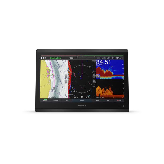
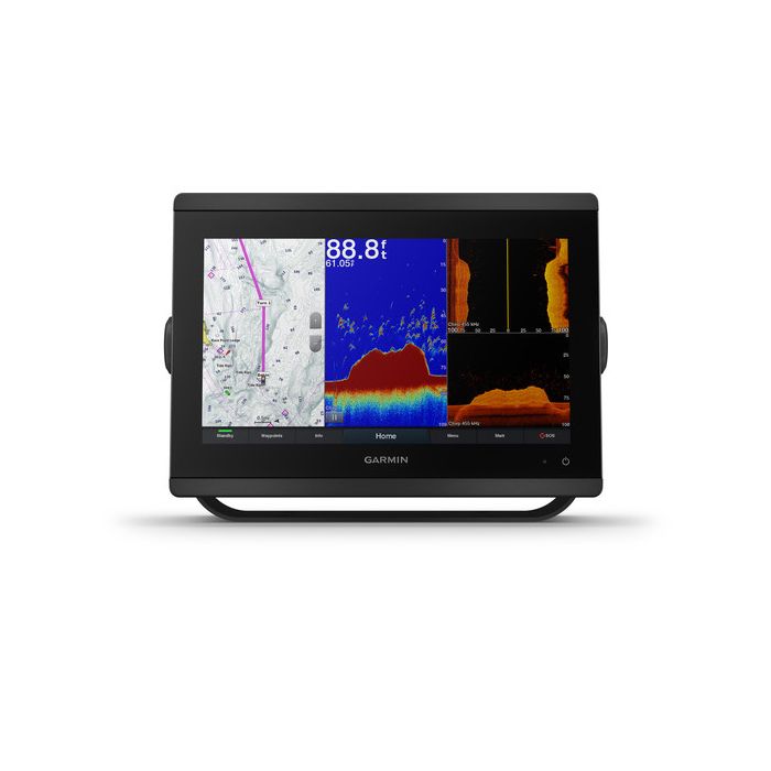
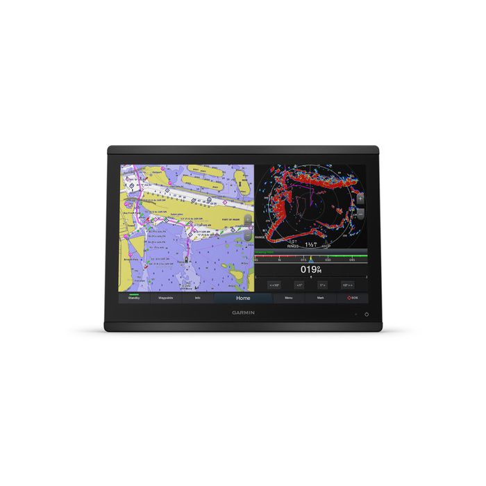
Big charts and no sonar inside: the Garmin GPSMAP 8616 chartplotter is a 16-inch full HD touchscreen for boats where the main screen’s job is navigation, networking and engine data. This is part number 010-02093-50, and it comes with Garmin Navionics+ coastal charts and inland lake maps for the U.S. and Canada already loaded. If you want sonar in the same unit, the GPSMAP 8616xsv is the combo version.
Where the sonar comes from
The plain 8616 has no transducer connection of its own. Sonar arrives over the network instead: a Garmin GSD or GCV black box (sold separately) adds traditional dual-frequency or dual-beam sonar, CHIRP, ClearVü and SideVü, depending on which module you choose.
It also works with the PS51 FrontVü transducer, which looks ahead of the bow so you can see the bottom coming up before you run onto it. On a bigger boat that split makes sense, because the black box can live under the console close to the transducer.
Garmin GPSMAP 8616 chartplotter specs
| Item | Spec |
|---|---|
| Part number | 010-02093-50 |
| Screen | 16 in IPS touchscreen, anti-glare finish, 1920 x 1080; viewing area 13.6 x 7.7 in |
| Unit size | 15.1 x 10.3 x 3 in (38.5 x 26.3 x 7.6 cm) |
| Weight | 9.6 lb (4.4 kg) |
| Water rating | IPX6 and IPX7 |
| Current draw | 3.5 A |
| GPS | 10 Hz GPS, GLONASS and Galileo; internal antenna or an external one over NMEA 2000 |
| Network | 2 Garmin Marine Network ports, NMEA 2000, NMEA 0183 (1 in, 1 out, differential) |
| Video | In: 1 BNC composite and 1 HDMI (HDCP compliant). Out: 1 HDMI |
| Storage | 2 microSD slots on the back; 5,000 waypoints; 100 routes of 250 points; 50,000-point track log, 50 saved tracks |
Hooking up the rest of the boat
The Garmin GPSMAP 8616 chartplotter talks to radar, autopilots, instruments, cameras and audio through NMEA 2000 and the Garmin Marine Network. It shows AIS targets, DSC positions from a compatible VHF, FUSION-Link radios, GRID remote input and Garmin Helm. OneHelm brings compatible third-party devices onto the screen, and the SmartCraft Connect gateway shows RPM, fuel flow, temperature and trim for up to four compatible Mercury engines.
Wi-Fi pairs the free ActiveCaptain app for OneChart, smart notifications and Quickdraw Community data, while ANT connects compatible quatix watches and the gWind Wireless 2 wind sensor. SmartMode station presets give one-touch layouts for docking, cruising, fishing and anchoring, and SailAssist adds race-start data for sailors.
In the box, and mounting it
- GPSMAP 8616 with Garmin Navionics+ U.S. and Canada charts
- Power cable
- NMEA 2000 drop cable and T-connector
- Flush mount kit and trim piece snap covers
- Sun cover
- Documentation
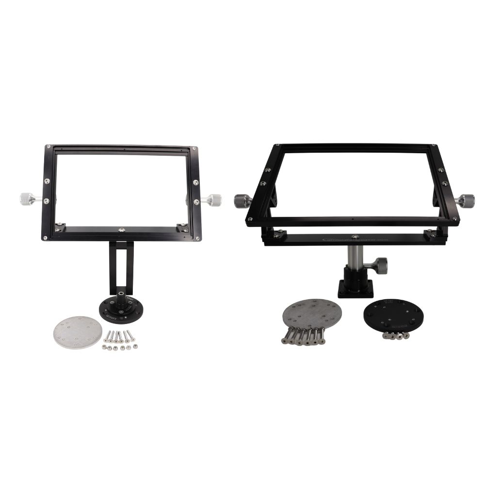
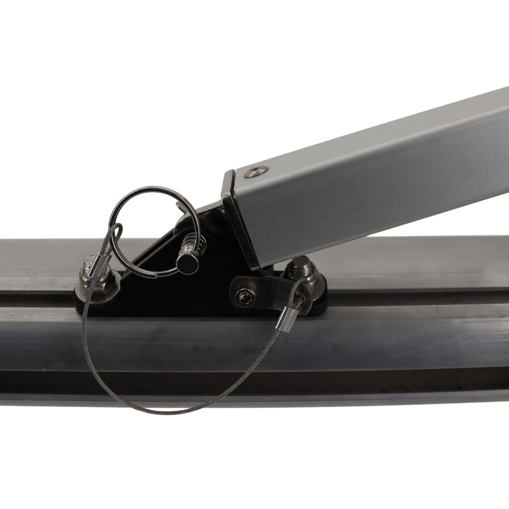
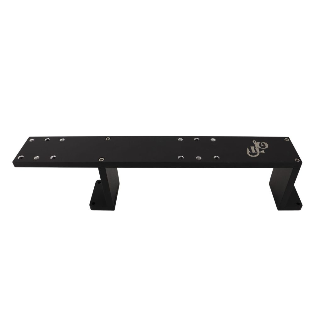
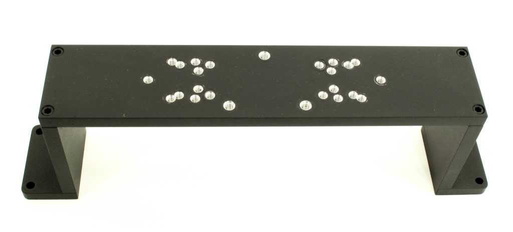
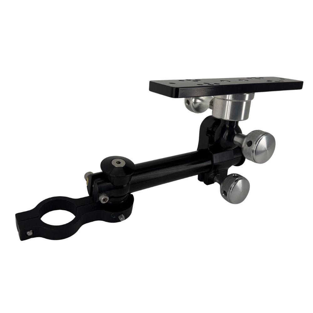
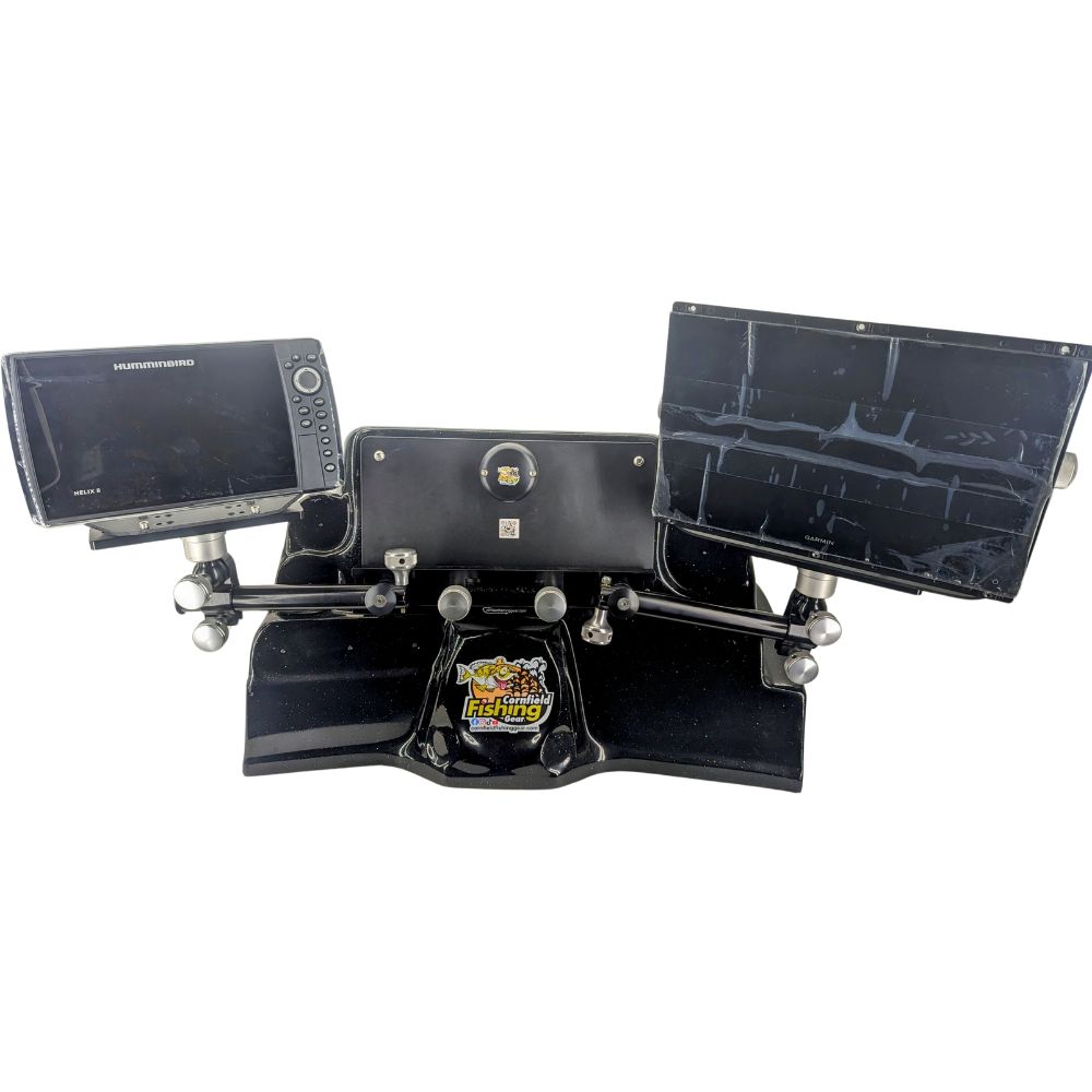
The flush mount kit covers a dash install. A bail mount needs an optional accessory, and for a flat glass helm install Garmin supplies no hardware at all, so plan on a pro with the right tools. For a deck or console stand, our 8600 series deck mount is machined for the 8616 as a double arm or a swivel base.
Questions
Does the Garmin GPSMAP 8616 chartplotter show sonar by itself?
No. It needs a networked sonar source such as a GSD or GCV black box or the PS51 FrontVü transducer. If you’d rather keep everything in one box, the 8616xsv has sonar built in.
Do I have to buy charts?
Not for U.S. and Canadian waters. Navionics+ coastal and inland charts are preloaded with Auto Guidance+, which is a planning aid only and doesn’t replace safe navigation. Vision+ premium content is an optional extra.
What if it doesn’t suit my dash?
Electronics are final sale under our returns policy, so check Garmin’s install dimensions against your helm first. Orders of $199 or more ship free by ground to the lower 48 and DC.
See the rest of our Garmin graphs, or email sales@trollingmotorsdirect.org with your boat and the gear you plan to network, and we’ll check the fit before you order.