Description
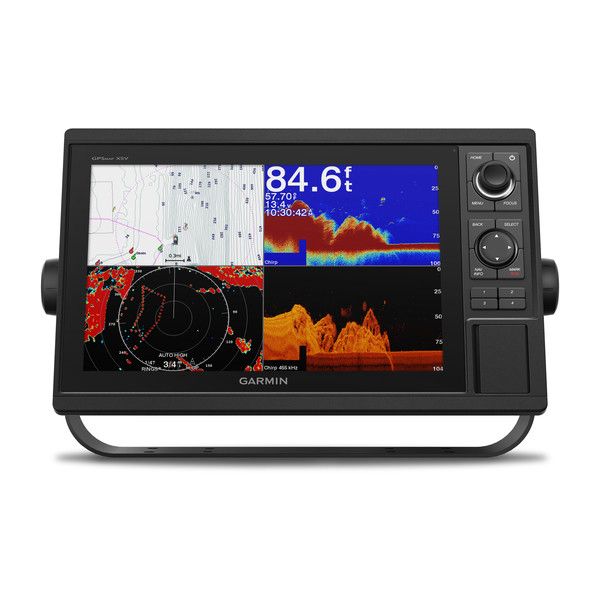
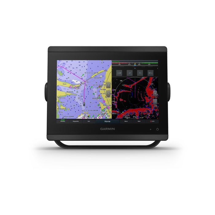
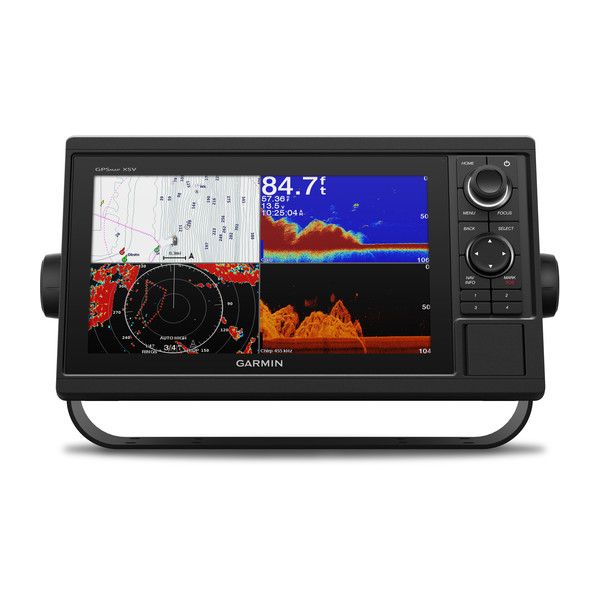
The Garmin GPSMAP 1042xsv is a 10-inch keyed chartplotter and sonar combo. There’s no touchscreen: you run it with a keypad and a multifunction control knob. This listing is Garmin part 010-01740-50, preloaded with Garmin Navionics+ coastal and inland charts for the U.S. and Canada and sold without a transducer.
Buttons instead of a touchscreen
Plenty of captains still prefer keys. A keypad works the same with wet hands, gloves or a boat slamming through chop, and a knob makes zooming and scrolling precise. Trying to tap a small waypoint on a touchscreen while the bow bounces is exactly the problem this sonar combo avoids.
Sonar built in, transducer sold separately
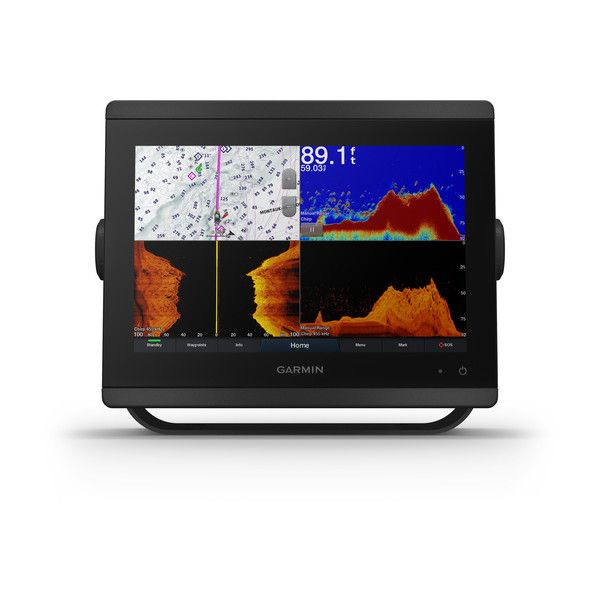
The Garmin GPSMAP 1042xsv has Garmin sonar inside: 1 kW traditional and 1 kW single-channel CHIRP, plus CHIRP ClearVü and CHIRP SideVü scanning. It’s dual-frequency (50/200 kHz) and dual-beam (77/200 kHz) capable, with a rated maximum depth of 5,000 ft at 1 kW, depending on bottom type and water conditions. Bottom lock, sonar recording, sonar history rewind and a water temperature log are all there.
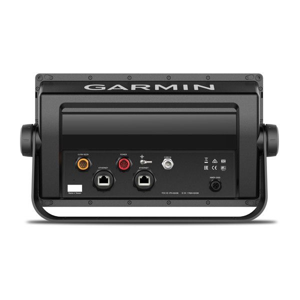
The transducer plugs into a 12-pin port, and an 8-pin to 12-pin adapter cable comes in the box for older Garmin transducers. The unit also supports Panoptix and LiveScope sonar (sold separately). Browse Garmin transducers or send us your boat details for a recommendation.
Garmin GPSMAP 1042xsv specs
| Spec | 1042xsv |
|---|---|
| Display | 10 in class, 8.8 x 4.9 in, 1024 x 600 WSVGA |
| Unit size and weight | 12.5 x 7.3 x 2.7 in, 4.1 lb |
| Water rating | IPX7 |
| Max power use | 32.4 W at 10 Vdc |
| GPS receiver | 10 Hz high-sensitivity; internal or external antenna over NMEA 2000 |
| Memory | 2 SD card slots; 5,000 waypoints, 100 routes, 50,000-point track log |
| Ports | 2 Garmin Marine Network, NMEA 2000, 1 NMEA 0183 input, 1 BNC video in |
Networking and add-ons
On the Garmin Marine Network the 1042xsv shares sonar, radar, maps, user data, IP cameras and live sonar with other units. NMEA 2000 and NMEA 0183 bring in autopilots, digital switching, weather, media, VHF, AIS and other sensors. With the SmartCraft Connect gateway it shows RPM, fuel flow, temperature and trim for up to four compatible Mercury engines.
Wi-Fi pairs it with the ActiveCaptain app for OneChart, smart notifications, software updates and Quickdraw Community data. ANT connects quatix watches, the gWind Wireless 2 transducer, the GNX Wind instrument and wireless remotes. Quickdraw Contours lets you draw your own maps, and SailAssist covers laylines, set and drift and wind data.
Included with the 1042xsv
- GPSMAP 1042xsv with Garmin Navionics+ U.S. and Canada charts
- Power/data cable, NMEA 2000 T-connector and 2 m drop cable
- Bail mount kit with knobs and flush mount kit with gasket
- Protective cover and trim piece snap covers
- 8-pin transducer to 12-pin sounder adapter cable
- Documentation
Questions buyers ask
Is Auto Guidance+ a substitute for watching where I’m going?
No. Garmin says Auto Guidance+ is for planning only and doesn’t replace safe navigation.
Can I return it?
Electronics are final sale at our shop (see returns). Garmin’s own listing is on its 010-01740-50 product page.
More units are under Garmin graphs. Email sales@trollingmotorsdirect.org, Monday to Friday from 9am to 6pm, with your boat and current transducer and we’ll confirm the Garmin GPSMAP 1042xsv will work with it.